Country:

 City:


From Nyons or Serres, head to the village of Rosans and park by the church.
(S/E) Follow the Col de Pommerol road, then turn right onto Chemin du Facteur. Walk past the fire station on your left and continue straight ahead along the cul-de-sac to the end of the street.
(1) Turn right, climb up to the cross and follow the ridge – a steep slope – to the Serre du Suquet.
(2) Descend about ten metres, then begin a long, ascending traverse to the left. Pass a small pass which ends at a col.
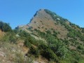
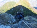
(3) Take the very steep track to the right, then the path that continues from it, and follow the ridge – initially grassy, then rocky (take care with children) – to the summit of the Fourchat.
(4) Descend via the same route back to the pass.
(3) Continue down the track to the Col de Pommerol (at the end, you can leave the track to walk down through a meadow).
(5) At the road, turn left, walk about a hundred metres along the tarmac, then take the path on the left. Follow a long, descending traverse (with a few sections that climb slightly), ignoring the various tracks, until you reach the junction above the fire station in the village of Rosans.
(1) Follow the same route back as on the way there to reach the village church (S/E).
 Visorando Member
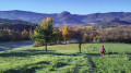
 Difficult

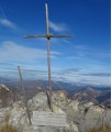
 Very difficult
 Association / Club / Walk leader