Country:

 City:
City:


Park at the Villar-Loubière car park – please note that it is often full.
(S/E) Take the GR®54, marked in white and red, heading north. Follow a bend to the right, cross the village to reach a crossroads with a fountain.
(1) Keep left on the GR®, following a steady but sustained climb to reach a footbridge near a waterfall.
(2) Use the cable to cross this short section without difficulty. Continue the climb via a series of hairpin bends, then reach a Y-junction at a place called Le Pas de Galiane.
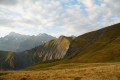
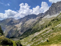
(3) Leave the GR®54 and take a path on the right, which is wilder but more varied. Follow a series of hairpin bends through the Bois de Champat, leave the woods and, in the mountain pasture, reach another junction at the Cabane du Lautier at an altitude of 1,920 metres.
(4) Carry on to the right through the mountain pasture until you reach the GR®54 alternative route.
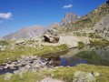
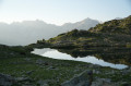
(5) Take this to the right as far as Lac Lautier.
(6) Return in the opposite direction to the previous junction.
(5) Carry on straight ahead along the GR®54 variant.
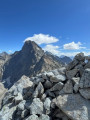
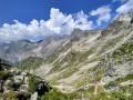
(7) Pass over the Col des Clochettes, then descend via a series of hairpin bends to the Refuge des Souffles.
(8) With your back to the refuge, turn left and, at the fork, head down the GR®54 to return to the Y-junction at the place known as Le Pas de Galiane, which you passed on the way up.
(3) Continue straight ahead, following the route you took on the way there in the opposite direction, until you reach the car park at Villar-Loubière (S/E).
 Visorando Member
 Moderate
 Difficult