Country:
 City:


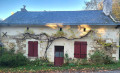
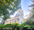
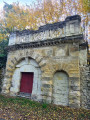
Public car park located next to the former primary school, on the outskirts of the village heading towards Gennes in Milly.
(S/E) Leave the car park and take the pavement on the left to join Rue du Cimetière.
(1) Go round it on the left.
(2) Take Chemin du Moulin Clairault on the left. After the mill, continue along the path on the right until you reach the junction with Route de Couesne.
(3) Follow this narrow road to the left as it winds through the forest, then across the clearing to the cross at the junction.
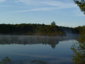
(4) Carry on straight ahead, keeping the Meugon on your left and the hillside on your right, heading north-west.
(5) Carry on straight ahead to complete the circular loop leading to the Meugon Leisure Centre, then turn right to head due east back to the foot of the foothill and the start of the circular loop.
(5) Turn left onto the path (Creux Chemin) and head towards a multi-way junction at the edge of the forest at Moulin Gareau.
(6) Turn right, heading south-east, onto the Route des Courlis. After the hamlet of Couesne, follow the Route de la Croix de Couesne to the left until you reach the three-way junction at Tertre Blanc.
(7) Head down the road to the right towards Les Buttards. Before reaching Les Buttards, leave the road and take the path on the left which winds its way into the edge of the forest, bypassing the hamlet. Cross the Route des Buttards. Walk alongside the orchards of Le Marchais Creux, join the Route de la Goubeaudière and turn left to reach the D69.
(8) Cross it carefully and take the Route des Roches de Milly opposite, for about 200 metres until you reach a three-way junction.
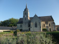
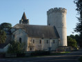
(9) Follow the GRP®, marked in yellow and red, to the right and walk alongside the Domaine de Milly forest. Pass the chapel and the castle on your right to reach the Route de Verrie (D161).
(10) Cross it with great care, and continue along the GRP® via the Route du Virolais for about a hundred metres.
(11) At the Virolais crossroads, leave the GRP® and take the cul-de-sac on the right, heading due west, and the Chemin des Sentis, which leads to the Rue du Cardinal Richelieu (D69).
(12) Cross it with care and take Rue du Chêne Rond, just opposite, for about a hundred metres. Continue to the right along Impasse des Hauts Bourdeaux, which takes you back to Rue du Cimetière, which you passed at the start of the walk.
(1) Follow it to the right to reach the car park (S/E). Take care on the path leading back to the car park.
 Visorando Member

 Easy
 Tourist office