Country:

 City:
City:


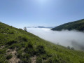
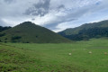
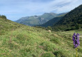
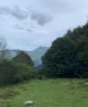
Park near the Houndas Chapel.
(S/E) With your back to the road, head south-west. Keep to the right at the three-way junction, then left at the second junction, until you reach another junction.
(1) Turn left until you reach a bend. The route described in the original guide suggests turning right (see Practical Information).
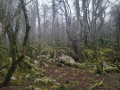
(2) Carry on straight ahead (south). The gradient becomes steeper as you enter the forest. On leaving the forest, join a gently sloping track suitable for vehicles, which you follow until the next junction.
(3) Leave the track, which would take you back to the same spot, and follow a path used by sheep that cuts across the track several times, serving as a shortcut. Carry on until you spot the hut.
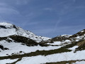
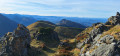
(4) There’s a lovely view from here over the Ossau Valley – the perfect spot for a picnic break by a spring.
Carry on along the path – which is more or less well-marked – to the unnamed pass.
(5) You have reached the highest point of the walk and the foot of the Crête de Saubajot. You will then begin a gentle descent to the edge of the forest.
(6) The slope becomes steeper as you descend, and the path follows the bed of a stream (Ravin de l’Artigasse) before emerging onto the D294, which climbs towards the Col de Marie Blanque.
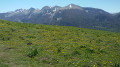
(7) Cross the road and follow the forest track. Cross the D294 again and continue straight on to the Grange Fréchou. On your left, there’s a lovely view of the Turon de la Técouère. Carry on for about a hundred metres past the barn until you reach a junction.
(8) Turn right onto a track suitable for vehicles, behind a gate which you should make sure to close properly. Cross the D294 once more, then continue straight ahead to rejoin the three-way junction you passed on the way up.
(1) Turn left and follow the route back in the opposite direction to reach the Chapel of Houndas (S/E).


 Visorando Member
 Difficult