Country:

 City:
City:


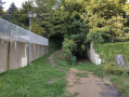
The Champ de Mars in Saint-Marcellin offers plenty of parking spaces near the start of this short walk.
(S/E) Head towards the fountain. Head north-west. At the junction, turn left onto Route de Chevrières and walk past the Lycée de La Saulaie.
(1) Leave Rue Georges Dorly on your left and carry on to the next junction. Turn right onto Rue de la Fusilière and walk past the rugby stadium on your right.
(2) Leave the tarmac and start the climb up a dirt track on the left. This is the start of a relatively steep climb where you’ll cross Rue du Docteur Marmonnier and Route de Chevrières in turn.
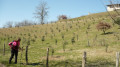
Emerge from the woodland onto a field.
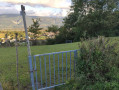
(3) You must cross here. There are gates (which you should close behind you), but these are sometimes locked. It is, however, possible to get through underneath the barbed wire, although it’s a bit of a struggle in that case. At the end of this field, turn left onto the road, continue uphill for about a hundred metres, then take a dirt track that climbs up to the right.
Reaching the Chemin de Maisonne marks the highest point of the walk. All that remains now is to head downhill by turning left onto this road.
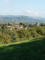
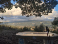
(4) Stop off at the orientation table to take in the view of the Vercors and the Saint-Marcellin plateau. Then carry on your way, continuing down the tarmac road. Turn left at the four-way junction, go straight on at the next junction and walk for about 300 metres.
(5) Turn right onto the Abbé Pierre footpath to complete the descent and reach the Saint-Marcellin plain, where you’ll turn left to walk along Rue du Mollard. Follow this road to the end.
(1) Here you’ll find the entrance to La Tivollière restaurant, where you can treat yourself to a culinary reward for your efforts. Alternatively, retrace your steps to return to the Champ de Mars (S/E).


 Visorando Member
 Moderate