Country:
 City:
City:


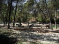
The route starts from the Grand Caunet car park, situated at the junction of the D3d and the D3, opposite a riding centre.
(S/E) Cross the D3d road with care, and go through a barrier to take a fire track marked GC107. Follow this for 800 m.
(1) At a right-hand bend, take a path leading straight ahead, north-west, until you reach a junction.
(2) Turn right twice to begin a descent.
(3) At the end of the descent, continue along the track on the left, which climbs back up towards the D3d.
(4) Cross it with care and , about thirty metres further up, take an uphill path signposted “Montounier”.
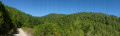
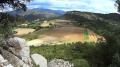
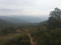
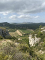
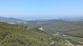
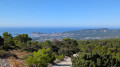
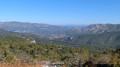
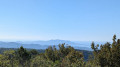
(5) After 800 m, at the top of the climb, walk to the opposite side – due north – and back to the 488-metre mark to admire the view.
(6) Retrace your steps.
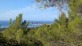
(5) Start the short climb to the right along the GR®98 to reach Montounier. A few viewpoints at the top are slightly obscured by vegetation. Continue along the GR®. On the descent, there’s a lovely view of La Ciotat.
(7) Once at the bottom, turn left onto the GR®5. Walk 2.4 km to return to the car park (S/E).
Note that on the left, you’ll soon spot a path running beneath the trees which follows a route that’s more pleasant to take in summer.

 Association / Club / Walk leader
 Difficult
 Visorando Member