Country:

 City:
City:


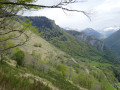
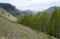
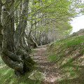
To reach the start, follow the N134 to the Pont de Cebers (the bridge leading to the famous Chemin de la Mâture), take the small country road on the left and follow it to the Col de Rédo (last hairpin bend), then a little further to the hamlet of Manot. You can park at the entrance to a track, taking care not to block the way.
(S/E) Start by following the country lane, which here has a fading tarmac surface, for about 300 m.
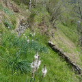
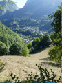
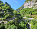
(1) At an altitude of 1044 m (see map), a path branches off to the left; it climbs quite steeply, heading north, and runs alongside a row of tall trees (beech trees), which you will follow for quite some time. Take this path. (If in doubt, see the attached photos.)
The path climbs less steeply as it runs alongside the trees and joins a path marked in yellow, which you will follow to the end. This marked path branches off to the right, continuing to climb, then turns left.
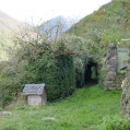
In the undergrowth, cross a stream and you’ll emerge into a meadow at the end of which there are two houses; cross the meadow horizontally and pass right between them. A path starts on the other side, following a line of trees again, almost level.
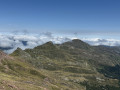
(2) The marked path branches off to the right at this point, heading uphill. This is a circular loop offering a sweeping view from the top of the small hill just above.
For those who are tired or with little energy left, it is possible to continue straight on (horizontally, following the trees) to rejoin the route at the next junction.
Follow the yellow markings (not always obvious, so the map may be useful). After climbing the hill, simply head back down the north side, keeping to the left.
(3) At this point, the path cuts across the grassy slope (bushes); it is a little steeper but well marked. Simply follow the path to arrive behind the hamlet of Manot. When you reach the trackable dirt tracks, do not take the one on the left (which leads to the house), but go right; go through a gate and join the tarmac road very close to the car park (S/E).


 Visorando Member

 Easy
Easy 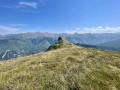
 Difficult