Country:
 City:
City:


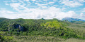
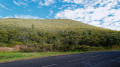
Park at the GPS point, on the right-hand side of the road when approaching from Koumac. There are around ten parking spaces, so you shouldn’t normally have any trouble finding a space, except perhaps once every ten days when the Vertikalédonie association organises climbing sessions.
(S/E) A sign marks the entrance to the forest path. Follow the path into the forest until you reach a Fork in the road.
(1) The path splits into two; follow the one on the left. The route is signposted throughout, but the colours vary (sometimes yellow, sometimes blue, sometimes orange), and the markings have faded in places; however, the path remains generally well-maintained. Spotting the markings can sometimes be a bit tricky in the forest; having a GPS track is a bit of a bonus, but by no means essential.
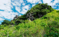
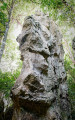
The path winds round the rocks to the left, passing several climbing sites set up on the rock faces, which are often split by magnificent trees.
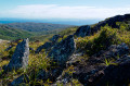
(2) On this side, the view opens up, offering a lovely vantage point over the Pain de Sucre. The foliage is denser here, but the signposts are more frequent than on the first section. Continue to a junction.
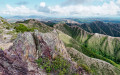
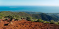
(3) Here, the path climbs to the right towards the top of the rocks. Take care on the final stretch when using the rocks for support, as they can be sharp. Enjoy the panoramic view.
(4) Head back down to the fork.
(3) This time, turn right to return to the original fork.
(1) Turn left to return to the car park.
 Visorando Member

 Moderate