Country:

 City:
City:


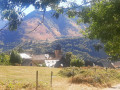
Start from the village of Cette (municipality of Cette-Eygun): you can park in the village square.
(S/E) The path starts above the church in Cette, alongside the stopover lodge (yellow signs). The climb is quite steep straight away, over vertical slabs of slate. Just to the left, in a meadow, is the Cette geological discovery area: don’t miss a visit here! Then continue along the dirt track until you reach a hairpin bend. The path heads off horizontally, leaving the hairpin bend behind.
(1) At the cattle gate (please closeit behind you ), and at the fork immediately after, turn left. Shortly afterwards, cross a stream over some large, slightly slippery stones. You’ll come to a fork.
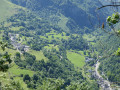
(2) Continue to the right along the main path, which begins to climb steeply. After a lovely view over the village, you’ll reach a cattle gate; go through it. Don’t miss the view of Lescun and the Toyal factory below! Continue climbing until you reach a fork.
(3) Carry on to the right along the main path, passing through another fairly light-filled stretch of woodland, then across a stream before reaching another fork.
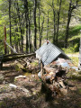
(4) Turn right onto the path leading up to the Cabane de Sabas and the Pic de Narbissat. This path passes through a wood of tall beech trees, which can sometimes be muddy due to springs. You’ll reach the Cabane de Sabas. You can take a short break here or even spend the night, provided you take great care of this shared space.
(5) Continue along the path (the yellow markings are not always easy to spot due to fallen trees that you’ll need to go round). Towards the end, the slope becomes steeper. Cross a muddy patch (spring) before emerging from the forest for the final stretch.
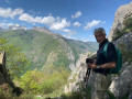
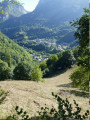
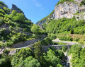
(6) You’ll reach the sweeping viewpoint at the Pic de Narbissat; this peak is little more than a small promontory, but it’s very well situated (see photos). Off the beaten track, but easy: you can climb a little way up the ridge (paths) to the foot of the limestone cliff. This spot is of great geological interest.
Turn back and follow the same route as on the way out to return to the village of Cette (S/E)

 Visorando Member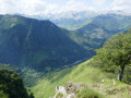
 Difficult
 Easy
Easy 
 Very difficult