


Take the D122 before the entrance to Arboras. Park in the last parking space opposite the start of the hike.
(S/E) Take a clear path to the north-east, a little higher up, opposite the car park. Walk alongside the vineyards and then the heath.
(1) At the crossroads, take the path downhill to the right, markedPR®® in yellow.
(2) Take a small path uphill on the right and ignore the path on the left which leads to a field. Continue uphill until you reach a crossroads (signpost indicating La Cocalière) and continue along the path that climbs (red and white cross for theGR®® but yellow markings for thePR®®)
(3) Reach the Neolithic enclosure marked by a sign and continue along the path uphill opposite the enclosure. Continue along the track
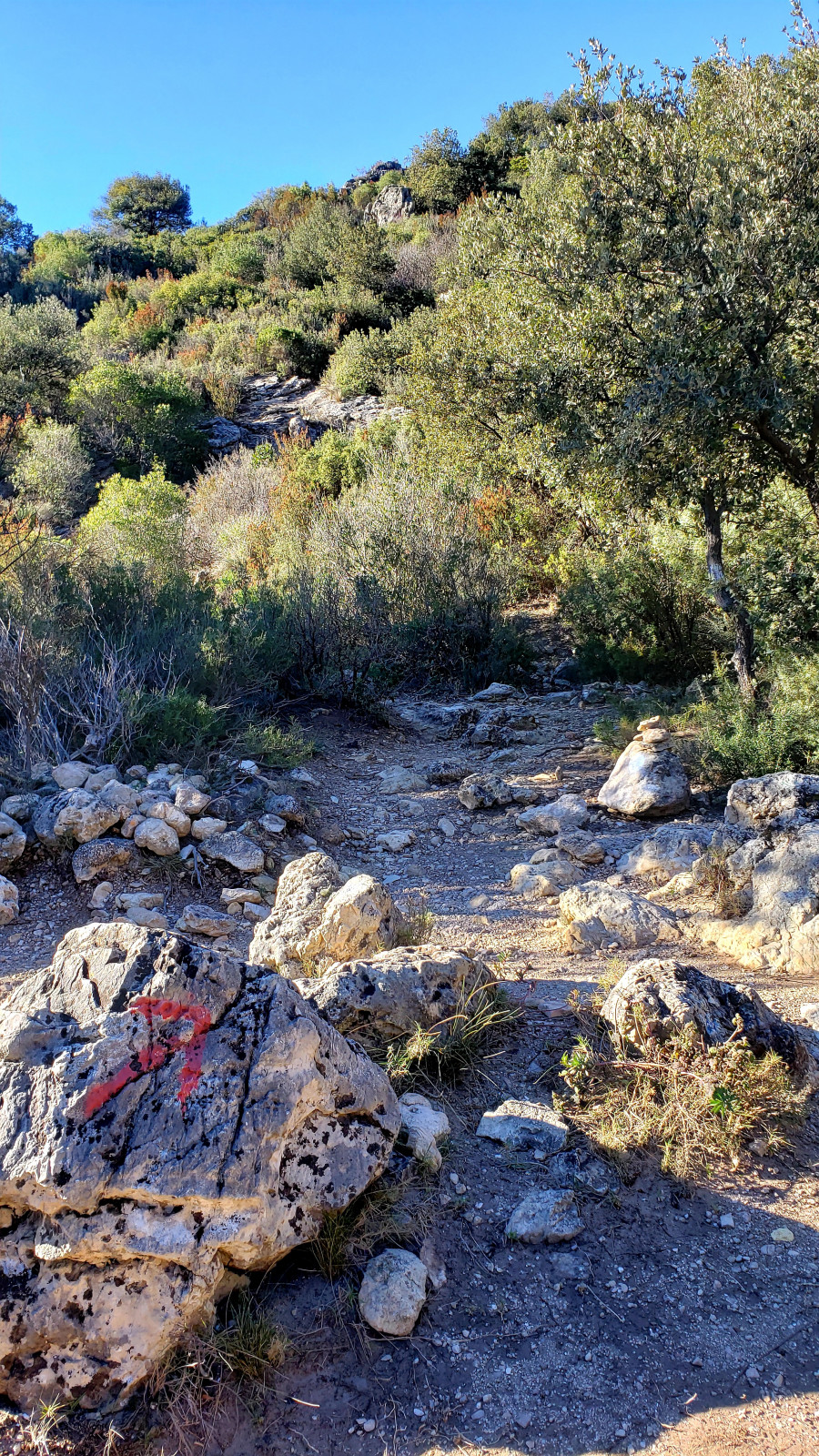
(4) Take theGR®® which veers sharply left uphill.
(5) ContinuealongtheGR®® onthe left. Follow it to a wide crossroads with another track.
(6) Leave the track and take a small, more pleasant path on the left towards La Croix de Fer, then immediately to the right to avoid a large loop of forest track that you will rejoin further on and follow to the GR®® junction.
(7) Leave the track and take theGR®® heading to the right. At the signposts, turn left towards Max Nègre, then left again at the next junction.
(8) Explore the site at the first observatory, then follow the path to a second observatory (a beautiful spot for a picnic). Continue along the path until you reach a barrier.
(9) At the barrier, take the forest path on the right. Continue along it, ignoring all the paths and tracks branching off to the right and left.
(10) At this point, take a small path on the left, which is well marked but not signposted, leading down to the Joncas riverbed, which is steep and stony. Use the wide, clearly visible path opposite as a guide for the descent.
(11) At the lowest point, climb back up to the track (very steep slope) and follow it to the left.
(alternative: continue along the track at (10) to join the D122, then return to the trail at a cistern on the left of the road).
(12) At the crossroads, take the descending track on the left which naturally leads to the wild Joncas valley. Follow the path along the riverbed.
(13) Cross the riverbed.
(14) Just after a narrow passage between large rocks, you will find the start of the path to the Grotte aux Fées.
Please note that there are no painted markings to indicate the start of the climb. Landmark: a small tree with 2-3m² of cleared brush, from which the path to the cave climbs about 20m. Less visible, about 2m to the left, another well-marked path also leads to the cave.
Return to the stream bed and follow it to a crossroads with a track.
(15) Turn right and pass in front of a sheepfold. Reach the first crossroads to return to the car park (S/E).


")

")

