Country:
 City:
City:


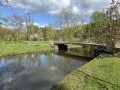
(S) Starting from the village church, with our backs to it, we head straight ahead and take the first street on our right, Rue Saint-Eloi, towards the village’s main crossroads and the River Viroin. We arrive at the village’s Old Bridge. We cross the river and, once on the other side, we cross (carefully) the N99 main road – also known here as Rue du Vignoble – and head towards the street opposite, Rue Autre Côté de l’Eau, which we follow until we reach the first junction, shortly after passing a farm.
(1) At this first junction, we take the path on our right. This path climbs in a straight line up the hill, towards what the villagers call “La Goulette”. Once at the top of the hill, we come out onto a farmland plateau.
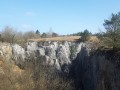
(2) Further on, we come to a copse tucked away amongst the fields. Just behind this copse, we take the path that runs for 100 metres to the woods. We reach the nature reserve path, which we take to the left to make a round trip to La Roche du Pas.
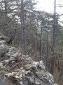
(3) A little further on, we finally reach La Roche du Pas. Shortly afterwards, we set off again towards the crossroads at the edge of the woods, following the path we had taken on the way there.
We take the path on the left and thus arrive at a road called Rue de la Goulette, which leads back down to the N99 main road and the ‘Vieux Pont’ (Old Bridge), which we crossed at the start.
We walk through the village and then head towards our finishing point in front of the village church (S/E).


 Visorando Member


 Moderate