Country:

 City:
City:


Start from the Étang du Moulin car park, 500 m north of the village of Donzeil.
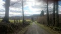
(S/E) Walk along the left-hand side of the pond, leaving the site by going through the wooden gate on the left. Cross the D17 and take the track opposite until you reach the junction of the tracks.
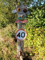
(1) From this junction, follow the sky-blue signposts
Turn right onto the track, then cross the small road to continue along the track opposite and reach the D13 at a place called Ribot.
(2) Cross it carefully, continue straight ahead along the road, then at the junction, take the track on the left to return to the D13.
(3) Turn right onto the D13, cross it carefully once more, then turn right into the woods towards Champagne / Le Boueix, until you reach a T-junction.
(4) Turn left and carry on until you reach a three-way junction.
(5) Take the left-hand track and carry on straight ahead until you reach a junction.
(6) Carry on straight towards Le Boueix, follow the track to the end, then turn right onto the local road to reach the village of Le Boueix.
(7) Turn left onto a very narrow path in front of a house, and join a local road.
(8) Turn right and walk for about fifty metres, then take the small path leading down to the left. Cross the Ruisseau du Boueix, then walk back up to the village of Champagne.
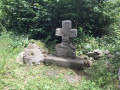
Cross the village via the road to the Croix de Champagne.
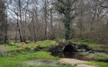
(9) Turn off onto the path on the right which passes by the wash house. Continue straight along this path until you return to the junction on the left from the outward journey.
(1) Turn right onto the path in the opposite direction to the outward route to reach the pond and then the car park (S/E).

 Visorando Member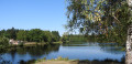
 Moderate