


Park in the Col du Glandon car park, behind the memorial.
(S/E) From the car park, take the marked trail (yellow and green) to Lac de la Croix, clearly indicated by a sign. The trail heads westwards before turning north when it reaches the valley floor below the Glandon springs (it crosses two trails that climb left towards Lac de la Combe). It is joined on the right by the path ascending from below the upper pass, at the crossroads that marks the entrance to Combe de la Croix (sign). Turn left to ascend westwards, on the right bank of the stream.
(1) Shortly after the Combe de la Croix sign, another sign indicates the direction of the Cime du Sambuis (it specifies that the route is marked). Leave the main trail to follow the direction of this sign and head for the footbridge that crosses the stream below (faint path to the stream).
Cross the footbridge (IGN map is incorrect, refer to the track) and follow the cairned and marked green and silver path north-west (note that at night, with a head torch, the markings appear green and black). The path climbs rapidly and crosses a first stream, which is dry at the end of the season. When it reaches a second stream, it veers to the right (north-east) and climbs steeply along the left bank (orographic).
This fairly faint path comes up against a rocky outcrop, which it bypasses on the right (there are also tracks to the left, which the route will follow later to reach Lac du Sambuis). Just above the outcrop, it reaches a lake that is dry at the end of the season.
(2) From the lake, continue to follow the path that takes the shoulder climbing north towards Sambuis. This path is still marked in green and silver and marked with cairns; there are also other cairns on parallel paths that all lead to the summit of Totem des Villards.
(3) At the Totem des Villards monument (a pair of touring skis leaning against an ice axe), turn left (west) to follow the ridge leading to the Cime du Sambuis a little higher up.
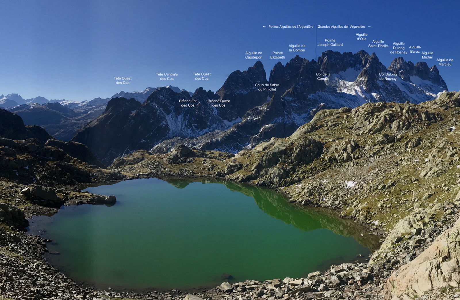
(4) From the Cime du Sambuis cairn, look down to locate the route leading to Lac du Sambuis, see reference photo.
Descend via the ascent route to below the lake (dry).
⚠️ From here, there are no markings until Lac de la Croix; however, ibex tracks help you find your way. Of course, the reference photos, map or Visorando app are essential for navigation.
(2) Head west, climbing very slightly, to cross a large scree slope (see reference photo); stay on the contour line and follow the ibex tracks slightly uphill rather than downhill, but never climb the steep slope. This will bring you within sight of Lake Sambuis from above.
(5) Descend to the lake in sight among the rounded rocks, then go around the lake via its northern shore to reach an ascending scree slope on the western shore. Take this scree slope, which is steep at first but quickly becomes more comfortable, staying in its trough ascending to the west.
This will take you to a small gorge with a mini lake (see photo).
(6) Go around this pass on the right, climbing up the wave-cut rock, then descend towards the Sambuis pass, clearly visible to the south-west (do not try to descend in line with the previous pass: it is much easier to make a small detour to the north to descend on easy slopes).
(7) Do not cross the Col du Sambuis, but follow the ridge line that leads westwards, over easy, sheep-infested rocks. When the ridge becomes more difficult, pass to its right to climb up the valley that leads to a small, unnamed pass to the west, on the ridge descending from the Bec d'Arguille.
Once you reach the pass, climb the ridge to the north-west to admire the view from the unnamed summit marked 2669m on the IGN map.
(8) From the summit, descend along the ridge (south-east) to reach a promontory above Lac de la Croix, an ideal spot for a picnic.
(9) From the promontory, descend due east over easy rocks to reach a fairly steep valley descending south towards Lac de la Croix; the lake is only visible at the last moment on the right, unless you venture onto the rocks (see the small detour on the GPS track).
(10) Go around Lac de la Croix along its southern shore until you cross its main spillway, opposite a peninsula. From here, the trail is again marked in yellow or yellow and green. Follow the trail as it winds down the steep slope to the bottom of the Combe de la Croix valley (heading generally south), and cross the stream.
When you reach the valley floor, follow the cairned trail that follows the stream on the right bank, heading south-east. The valley narrows at a rocky outcrop where the stream runs along a cliff on the right and scree on the left.
(11) Depending on the season, cross the outcrop via the main path, which partly follows the stream bed, or if the water is too strong, take the cairned detour that passes through the scree on the left.
When you reach the flat area below the rocky outcrop, return to the right bank if necessary to follow the stream that passes through the bucolic Plan des Trois Eaux before arriving at the initial crossroads.
(1) From the Combe de la Croix junction, follow the outward route to return to the car park (S/E).


