Country:


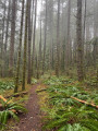
Start: Park on the side of the Menzies Main Forest Service Road (N 50.09645 W 125.42385)
Getting There: A vehicle suitable for unpaved gravel service roads is strongly recommended due to potholes and rough terrain. Use caution and keep an eye out for active logging trucks. Park safely on the road shoulder either just before or after the bridge crossing Mohun Creek.
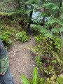
(S/E) Step off the road and locate the unmarked path heading into the forest alongside the creek. The main trail is clear and easy to follow. Depending on the season, conditions can be wet, muddy, and slick. Fixed ropes are available along steep or slippery sections to help you keep your footing.
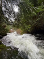
Just a short walk from the start, a minor spur trail leads down toward the base of Trout Creek Falls.
Step carefully down to the creek bed for a great view of the rushing waters.
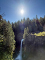
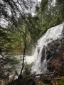
(1) Continue along the main path as it climbs higher above the canyon. You will reach Mohun Creek Falls, the tallest and most impressive waterfall on the route.
This area offers several viewpoints and camera angles to photograph the cascading water.
(2) Once you’ve taken in the scenery and enjoyed the peaceful surroundings, retrace your steps along the creek back to your vehicle at the bridge, then follow Menzies Main Forest Service Road back out to the highway.(S/E)
 Visorando Member
 Easy
Easy